VOLUNTEERS NEEDED May 3rd!
Please join Friends of the Ravines in an anti-erosion project in Glen Echo Ravine on May 3rd, 11-1:00.
Thanks to the awarded Mini-grant 2024 (extended due to drought) from the Franklin Soil and Water Conservation District.

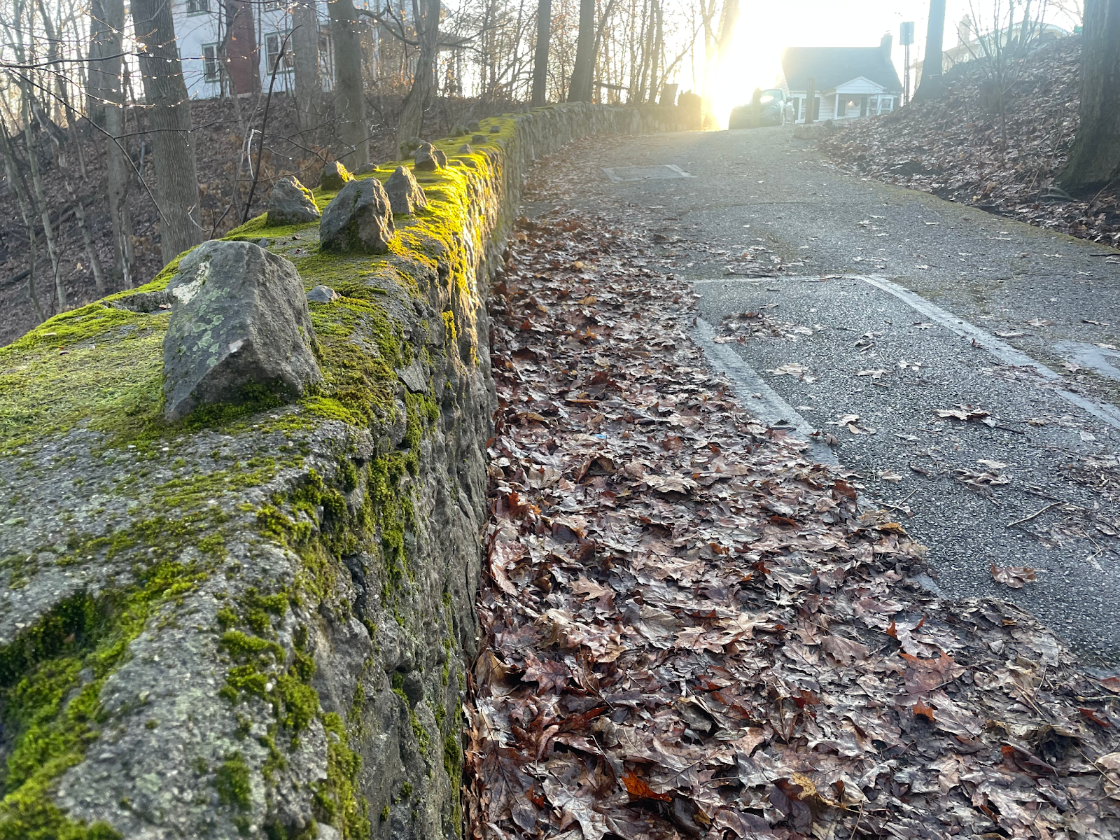
We will meet at the N 4th Street, Cliffside Dr. entrance. Please bring a water bottle and sturdy shoes as the work site is on an incline. We will be removing invasive plants and planting natives.
Sign up here:
https://givepul.se/iak1tz
With Spring Comes New Life, New Challenges, and New Hopes.
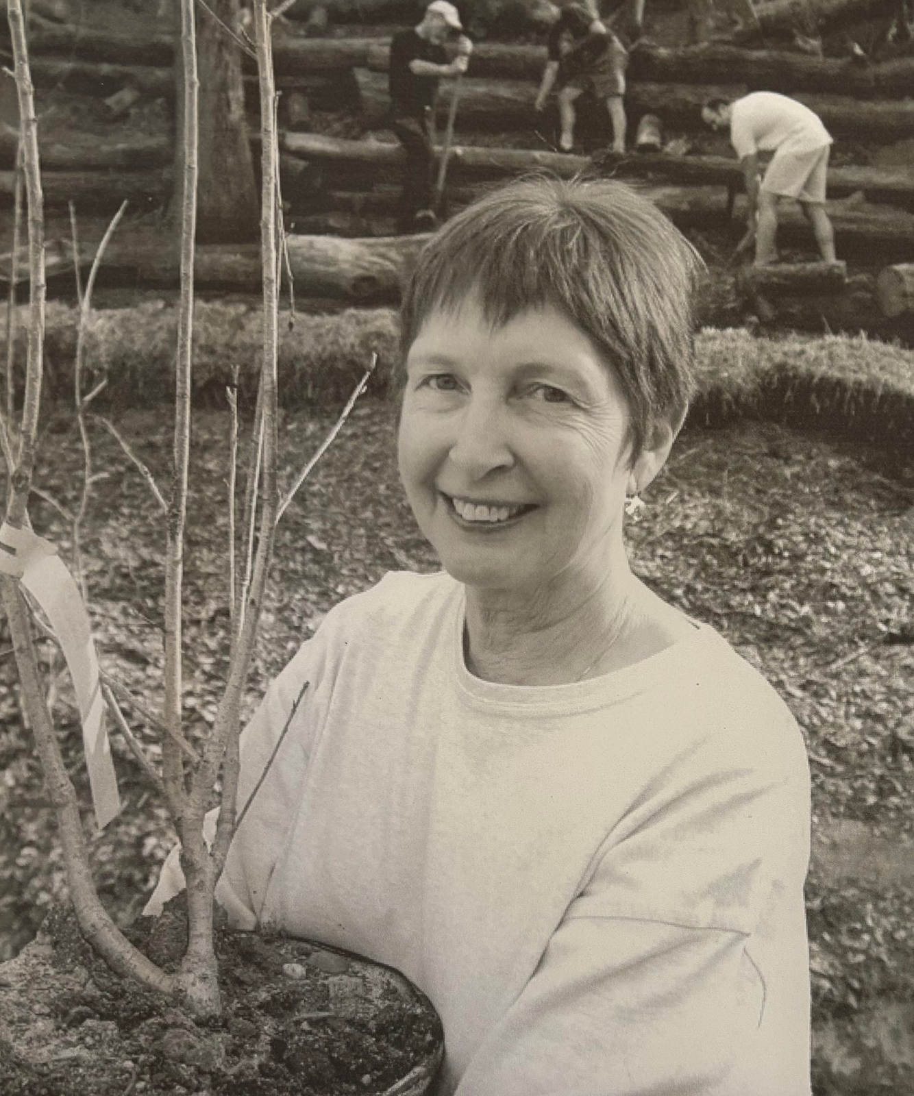
It is with great sorrow that we announce the passing of a dear friend and co-founder of Friends of the Ravines, Martha Harter Buckalew. She left this earthly realm on May 15, 2024 at 12:45 AM.
“An optimist is the human personification of spring”
– Susan J. Bissonette
It seems fitting that we post this message now at the height of a new Spring. We will miss her optimism; this world could use more of it.
As co-founder of Friends of the Ravines she was active with the organization since its inception. She served on the original advisory board, was involved in the Glen Echo restoration since it began, and contributed articles to Ravinia. She was a Nationally Certified Teacher of Music and held numerous district and state offices in the Ohio Music Teachers Association. She will be greatly missed.
As we make anew, we grow from the seeds others have left behind. We restructure, add stability from our environment, and like viridescent cotyledons—new growth emerges.

As a strong believer in environmental conservation, Martha shared many native plants and seeds during her residency in the Glen Echo neighborhood. Among them, Virginia Bluebells (pictured above). We believe these shared seeds are slowly forming a colony on the Southern Slope of Glen Echo Ravine Park.